.png)
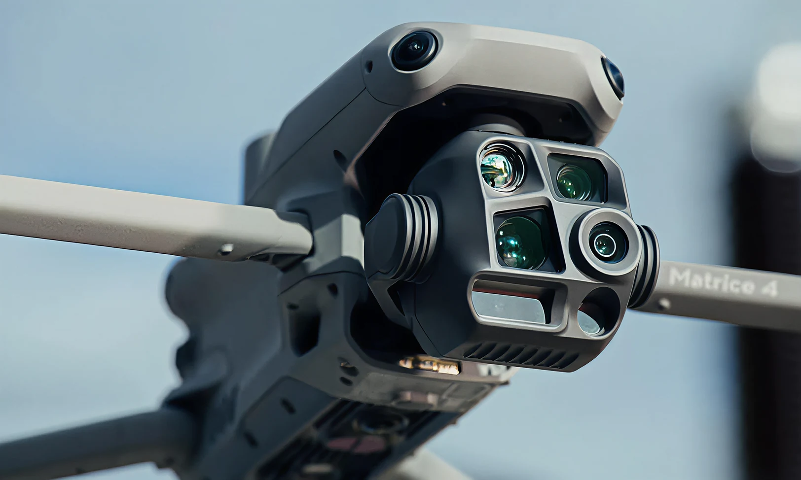
FAA Part 107 certified
Certified Drone Services In Texas
LiDAR Mapping, Thermal Inspections, and Construction Monitoring from FAA Part 107 certified pilots, wherever your project is.
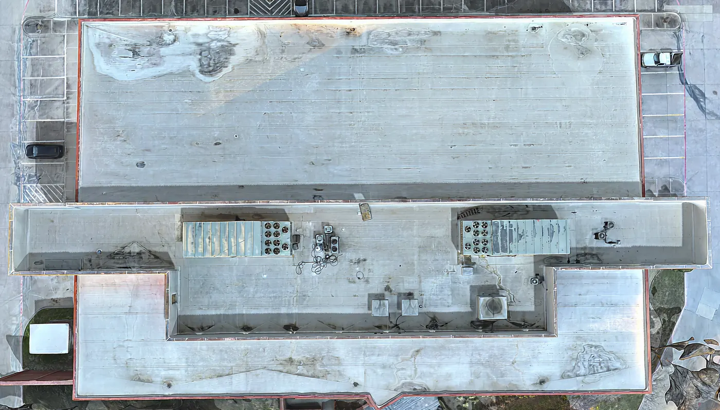
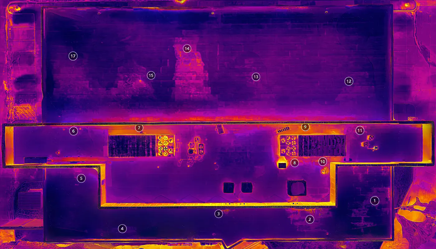
Thermal Finds Hidden Roof Damage
Spot moisture, leaks, and insulation problems before repairs get expensive. Every scan is analyzed and reported by certified thermographers.
Level III & Master Thermographers
No roof access or shutdown needed
Solar hot spots and failed modules
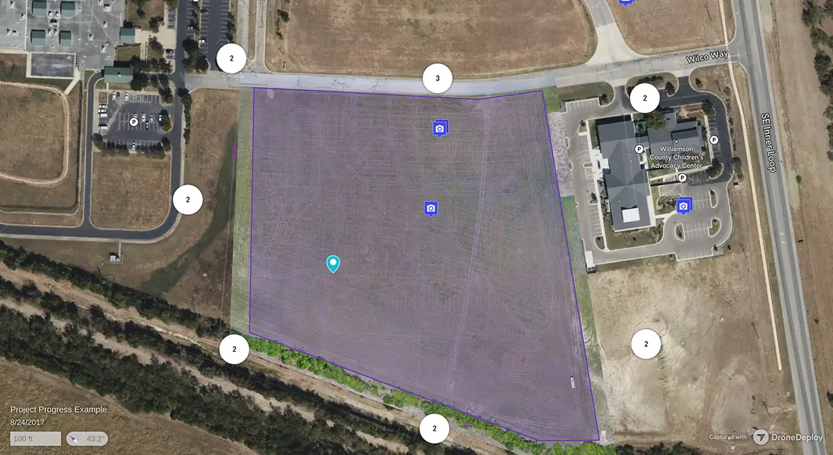
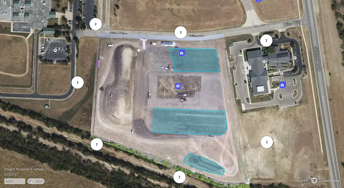
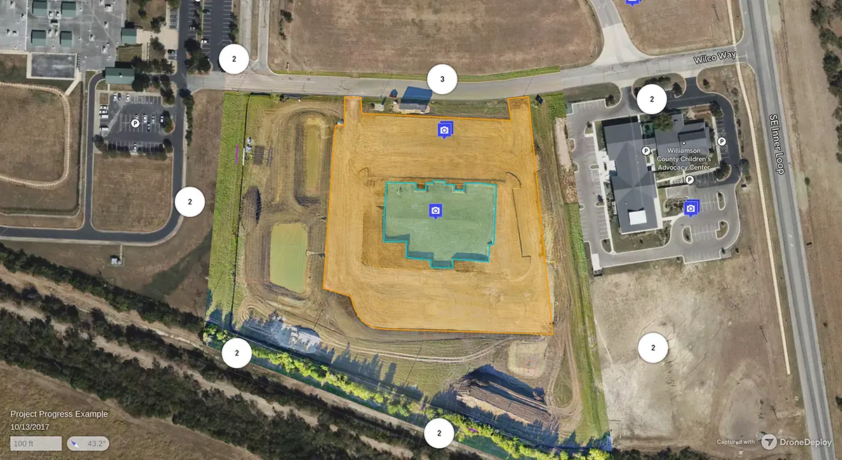
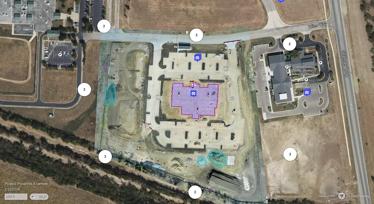
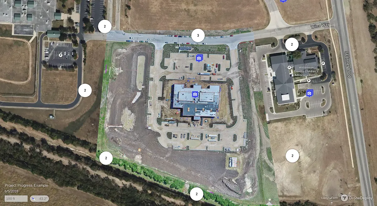
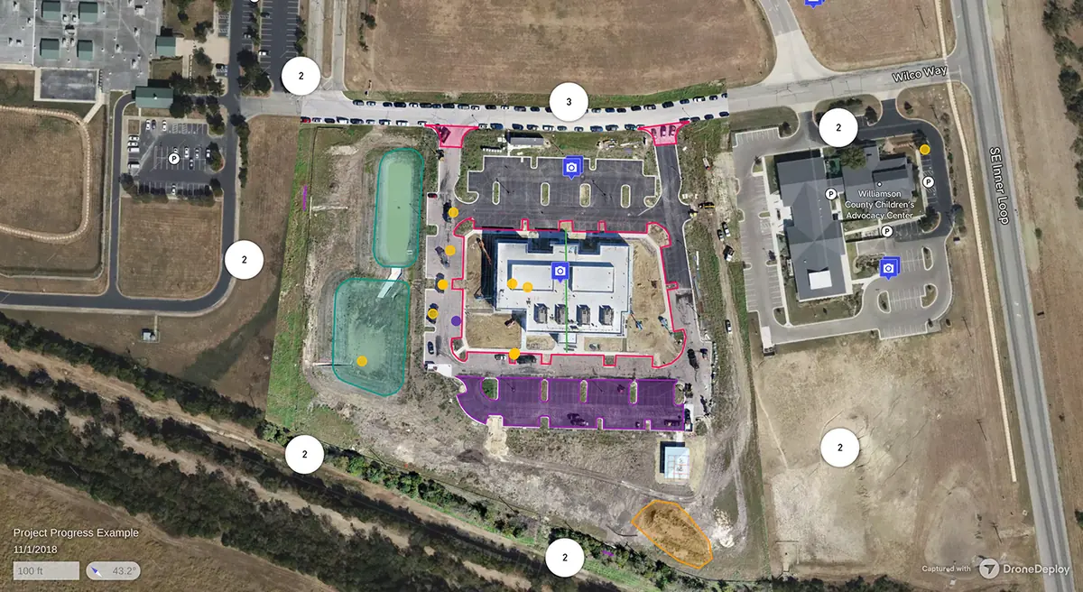
Construction Progress, Seen From Above
Recurring flights from groundbreaking to closeout, flown on the same path every visit so your whole team works from one view.
Weekly or monthly flights
Orthomosaics, 3D models, and volumetrics
Shareable with owners and subs
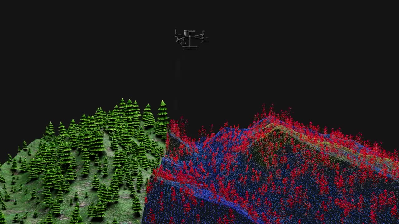
Survey Smarter With LiDAR Mapping
Accurate point clouds and elevation models in a fraction of the time, with ground detail captured even under tree cover.
Centimeter-level data for CAD and BIM
Bare-earth models under vegetation
Hundreds of acres in a single flight
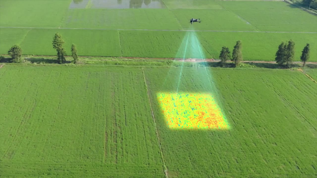
Map Every Acre From Above
Field maps, acreage, drainage, and damage documentation from above, so you can plan and report with confidence.
High-resolution field maps
Acreage and drainage data
Storm and flood damage records
Certified Drone Services In Texas
LiDAR, thermal, and construction mapping from Part 107 certified pilots.
Thermal Finds Hidden Roof Damage
Spot moisture, leaks, and insulation problems before repairs get expensive.
Construction Progress, Seen From Above
Recurring flights from groundbreaking to closeout.
Survey Smarter With LiDAR Mapping
Accurate point clouds and elevation models in a fraction of the time.
Certified Pilots. Professional Equipment. Precise Data. We Plan Every Flight Around Your Site And Deliver Maps, Models, And Reports Your Team Can Act On Right Away.
We Capture Every Phase
Six steps from first plan to lasting results.
Plan & Prepare
Define scope, goals, flight plan, and safety requirements.
Capture
Drones, terrestrial imaging, and Matterport capture imagery and LiDAR.
Process
Raw data becomes point clouds, 3D models, and clear images.
2D & 3D Deliverables
Accurate plans, 3D models, sections, and measurement tools.
Review & Collaborate
Share, measure, and comment with your team in real time.
Use & Manage
Track progress, manage assets, and report across the lifecycle.
What We Offer
LiDAR, thermal, and construction monitoring, plus solar, mapping, and public safety.
%201.jpg)
Progress From Groundbreaking To Closeout
Weekly or monthly flights, same path
Orthomosaics, 3D models, and volumetrics
Verify work and catch issues early
Keep remote stakeholders informed
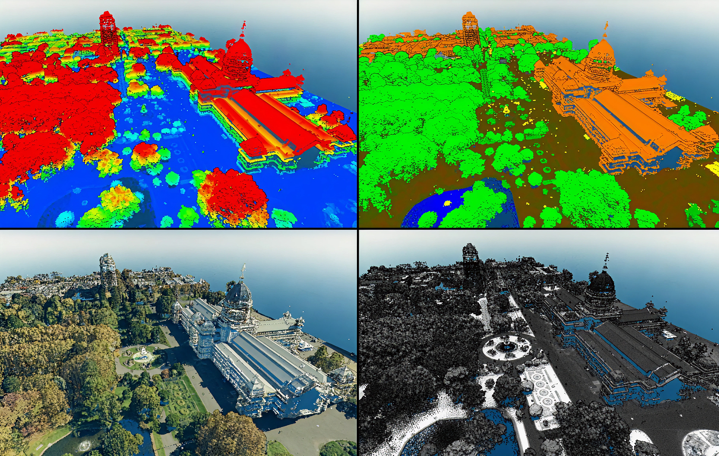
Precise 3D Site Data
Dense point clouds and topographic surfaces
Elevation models and 3D existing conditions
Centimeter-level data for CAD and BIM
Supports your surveyors and engineers
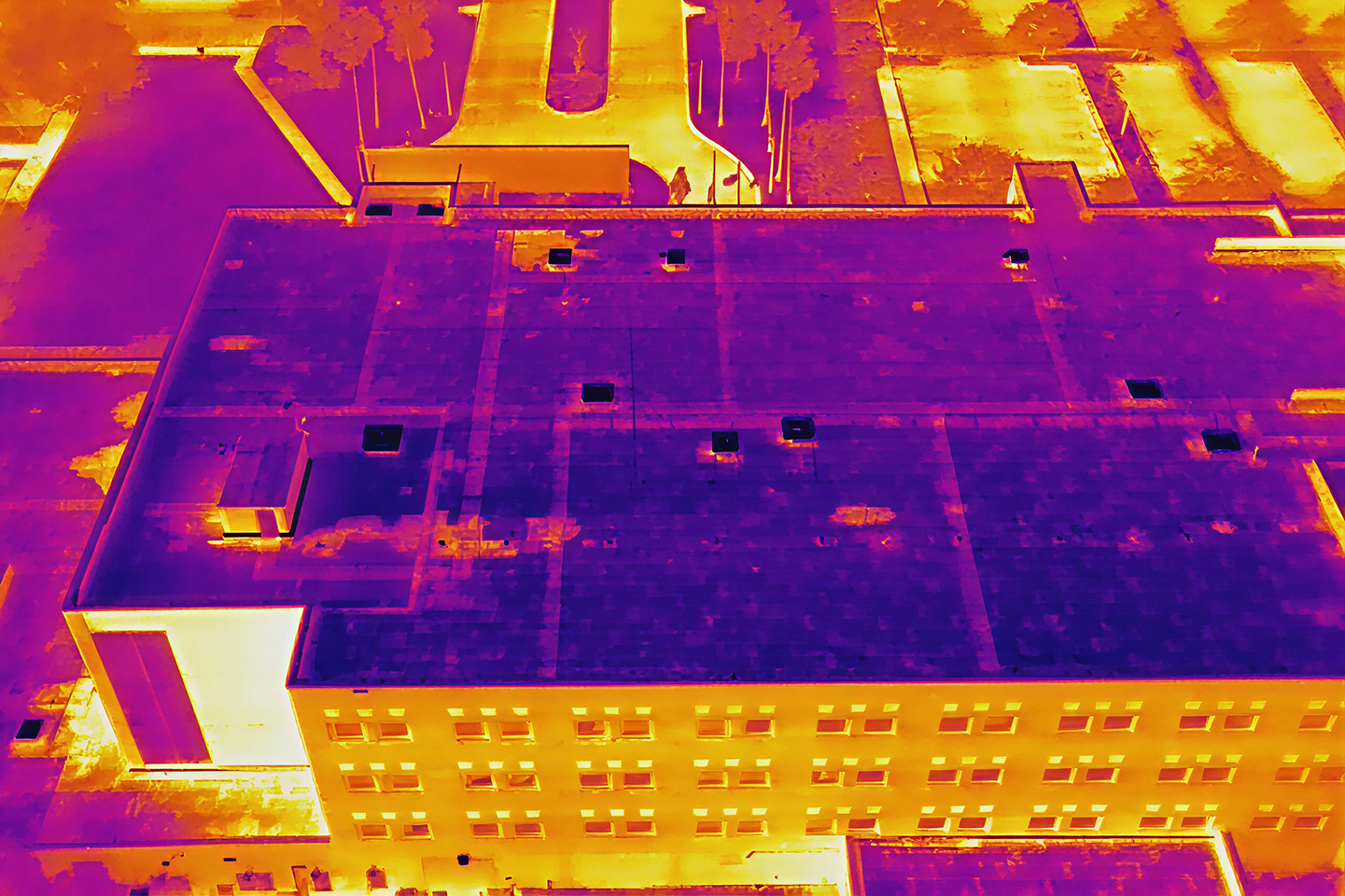
Find Hidden Roof Problems
Moisture, leaks, and insulation failures
Solar hot spots and failed modules
Level III and Master Thermographers
No roof access or shutdown needed
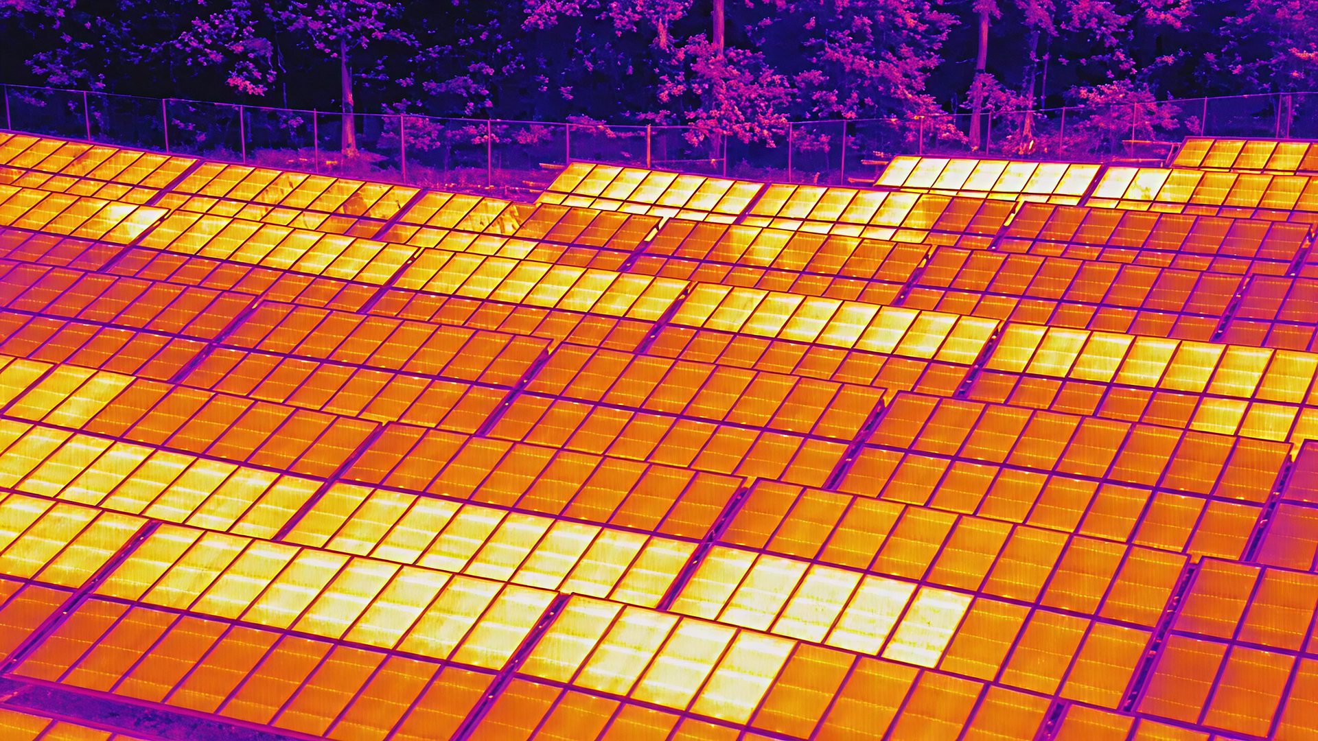
Solar Support, Start To Finish
Solar site mapping and data collection
Thermal solar panel analysis
Construction progress monitoring
Routine solar facility inspections
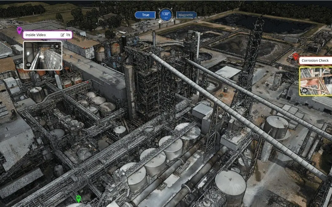
Maps, Models, And Property Intelligence
Orthomosaic maps
3D models and digital twins
Property intelligence reports
Facility intelligence for commercial portfolios
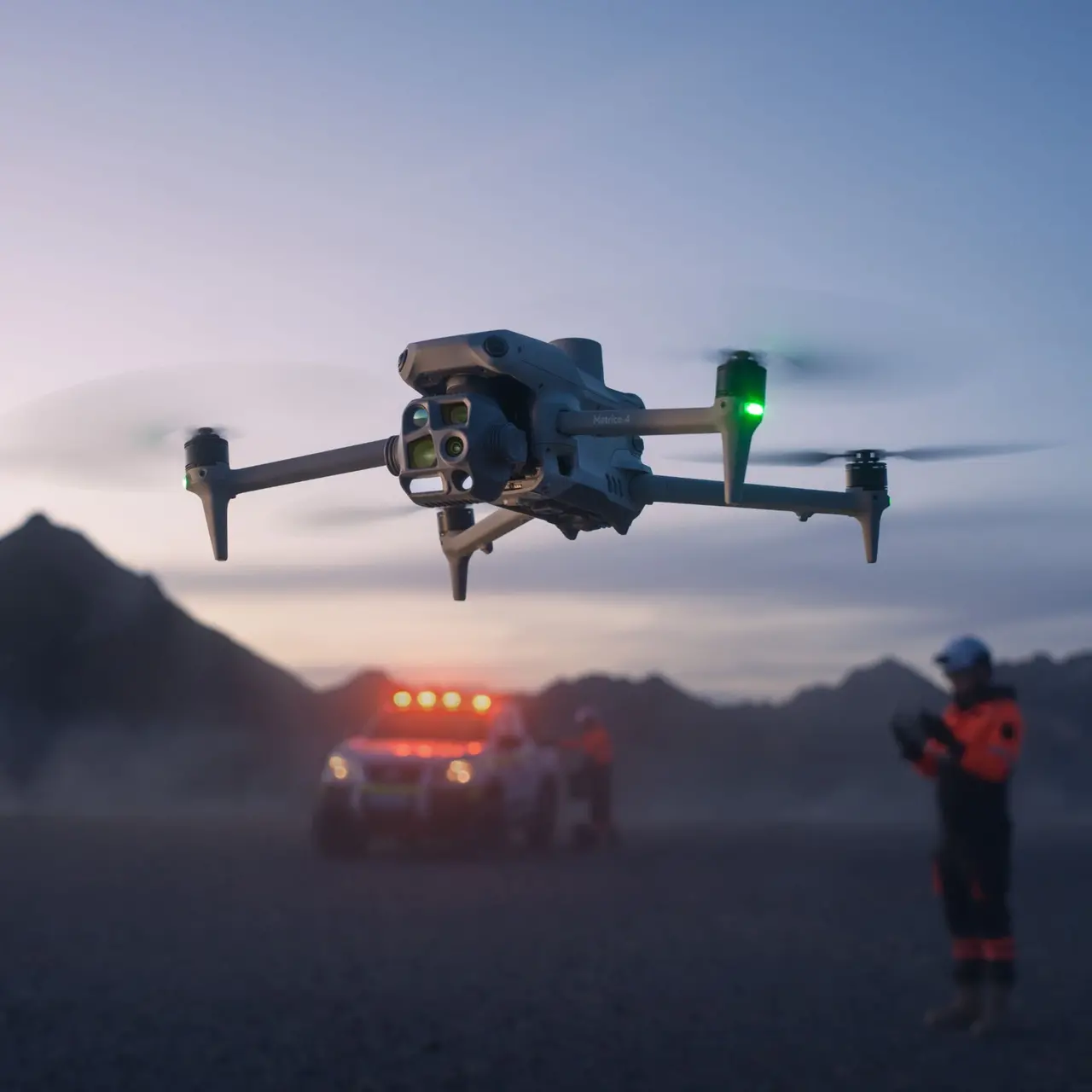
Support For Responders And Schools
Emergency response support
Search and rescue operations
Post-disaster data collection
3D school scans for emergency planning
Industries We Serve
Twelve industries, one team of certified pilots.

Engineering & Surveying
LiDAR topography, terrain models, and CAD-ready data for site design.
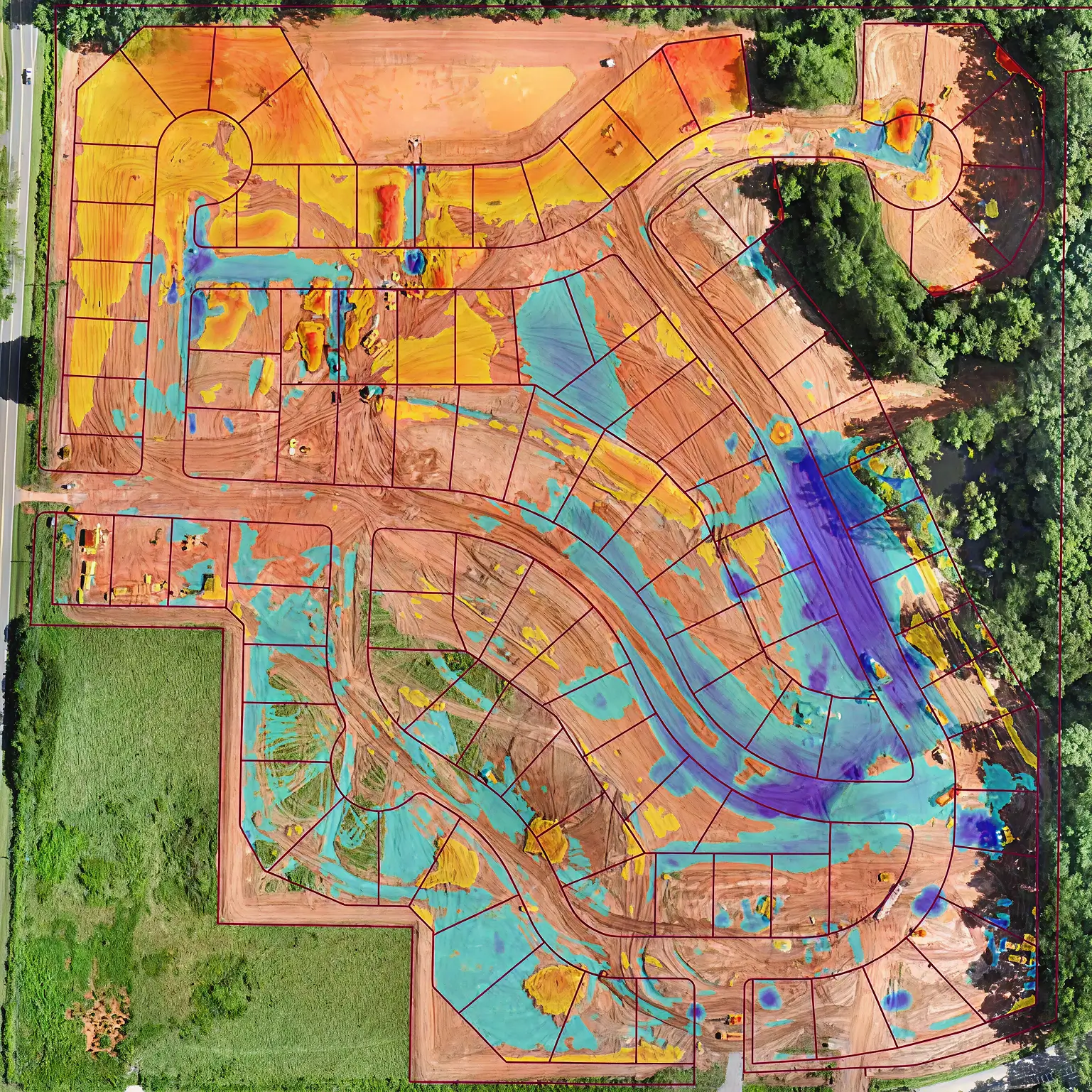
Construction
Progress flights, stockpile volumes, and cut and fill grading checks.
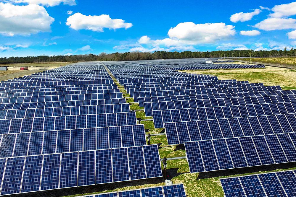
Solar & Renewable Energy
Solar site mapping, thermal panel analysis, and construction tracking.
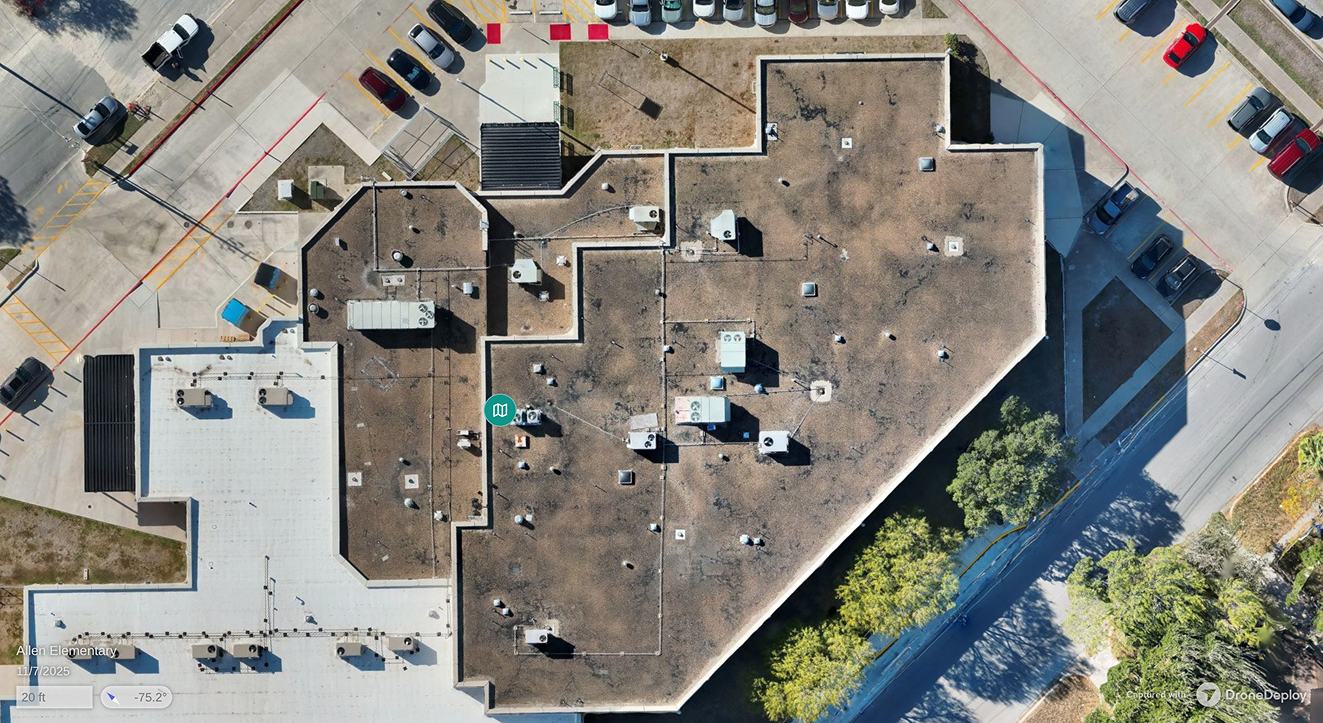
Insurance
Roof condition imaging, storm damage maps, and claims documentation.
Emergency Response
Aerial support for search and rescue and post-disaster data capture.

Infrastructure
Digital twins, utility corridor maps, and vegetation reality capture.
Public Safety
3D school maps and incident capture that support emergency planning.
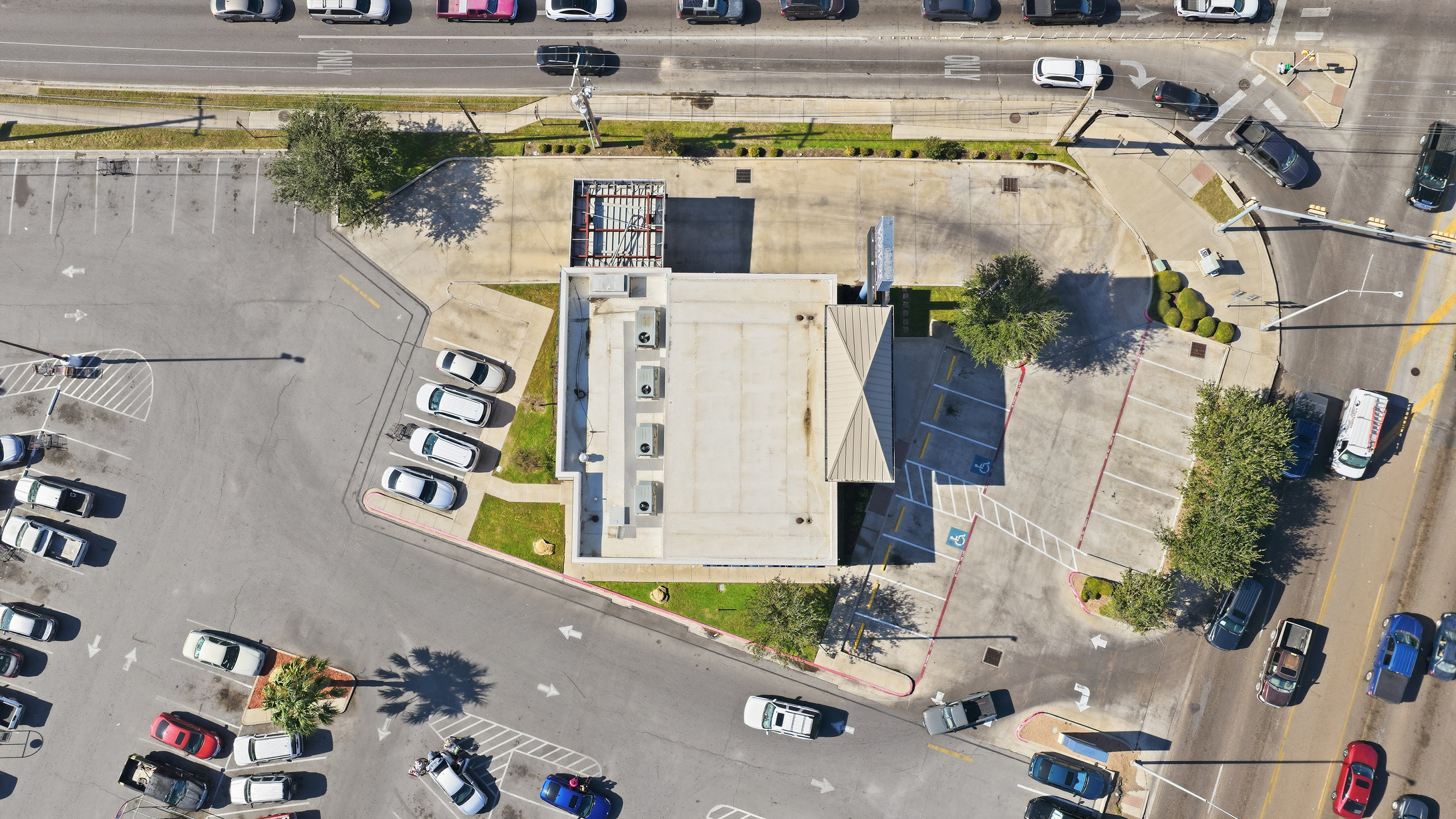
Commercial Real Estate
Property condition imaging and roof maps for multi-unit portfolios.
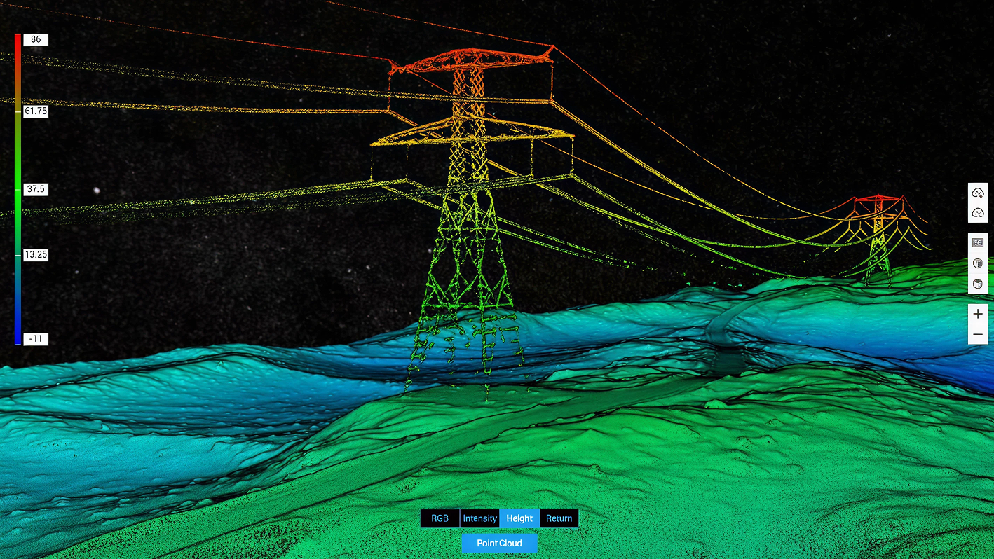
Utilities & Powerlines
Power line imaging, utility asset checks, and vegetation management.

Telecom
Cell tower imaging, tower mapping, and utility pole inspection data.
Oil, Gas & Industrial
Tank, pipeline, and equipment checks with no-shutdown thermal scans.
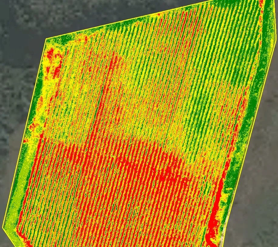
Agriculture
Field maps, acreage, drainage, and storm damage records from above.
What Our Clients Say
Contractors, facility managers, and surveyors trust our aerial data.
"We repaired three sections instead of replacing the whole roof. It easily paid for itself."
.png)
"One flight, survey-grade data, and a turnaround that beat every ground crew quote we had."
"Their monthly progress flights are now part of every owner report we send."
"The thermal report pinpointed the failed modules, so our crew went straight to them."
"The field health maps showed us exactly where to scout and saved days walking rows."
FAQs
Common questions about our services, scheduling, and what you can expect from Texas UAV Solutions.
Most flights can be scheduled within a few days, and many within 24 hours. Contact us with your timeline and we'll make it work.
We serve projects across all of Texas, and we travel with full equipment when a job takes us beyond the state.
Yes. Rush flights are available for thermal inspections, emergency documentation, and time-sensitive site captures. Call us to arrange it.
Every package includes flight planning, certified pilots, processed deliverables, and digital delivery, all scoped to your site and goals.
Everything is delivered digitally. Edited photos and video typically arrive within 48 hours; thermal, LiDAR, and 3D deliverables may take longer.
Yes. Our FAA Part 107 pilots are certified for night operations, and we handle airspace authorizations near airports.
LiDAR mapping, thermal inspections, and construction monitoring, plus solar support, property reports, 2D/3D mapping, facility intelligence, and 3D school scans. Licensed and insured.
Yes. All drone operations are conducted by certified Part 107 pilots. We maintain full insurance coverage for every flight.
Airborne laser scanning that builds a precise 3D point cloud of your site, capturing terrain, structures, and vegetation in one flight.
Pricing depends on your project's details. Contact us for a custom quote with no guesswork.
Still Have Questions?
Reach out to Texas UAV Solutions directly.