.png)
LiDAR Drone Mapping
Survey-grade point clouds, surfaces, and 3D models, captured from the air.
Projects. Industries. Real-World Impact.
Accurate existing-conditions data, faster than ground crews, on large or hard-to-reach sites.
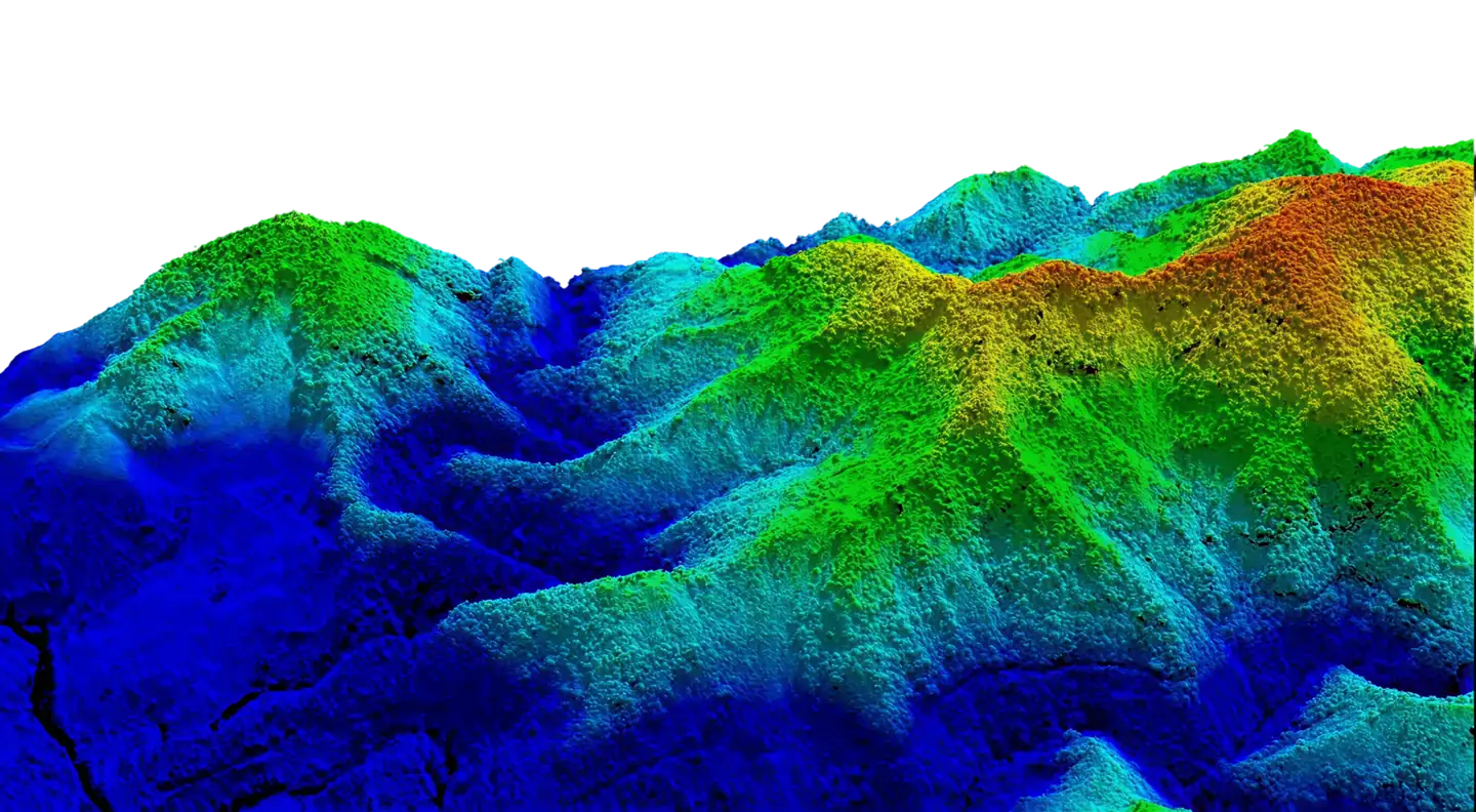
Explore a real LiDAR scan in 3D. Rotate, zoom, and measure.
Survey-Grade LiDAR From The Air
.png)
Why Teams Switch To Aerial LiDAR
Painpoints
Ground crews take days to cover large or rough sites, and every extra day pushes back design.
Dense vegetation hides the ground from photos and traditional photogrammetry.
Steep slopes, active roadways, and energized corridors put people at risk.
Spot measurements leave gaps that engineers fill with assumptions.
Advantages
Cover 500+ acres in a single deployment, with no return trips.
LiDAR pulses reach through gaps in the canopy to map bare earth.
Crews stay out of harm's way while the drone does the work.
Millions of points give a continuous surface instead of a handful of shots.
LiDAR Sees What Others Miss
Laser technology captures terrain detail that traditional topography surveys might miss.
Real Data For Real Decisions
Measurements your team can build on, not estimates that fail.
Centimeter-level accuracy
Sees through vegetation to the ground
Ready for CAD, BIM and digital twins
How A LiDAR Project Works
From the first call to data your team can use, every step is planned around your accuracy targets.
Plan & Consult
We define the scope, accuracy targets, deliverables, and flight plan before anyone goes on site.
Understand your goals and timeline
Set scope, accuracy, and deliverables
Site review, airspace check, and safety planning
Capture
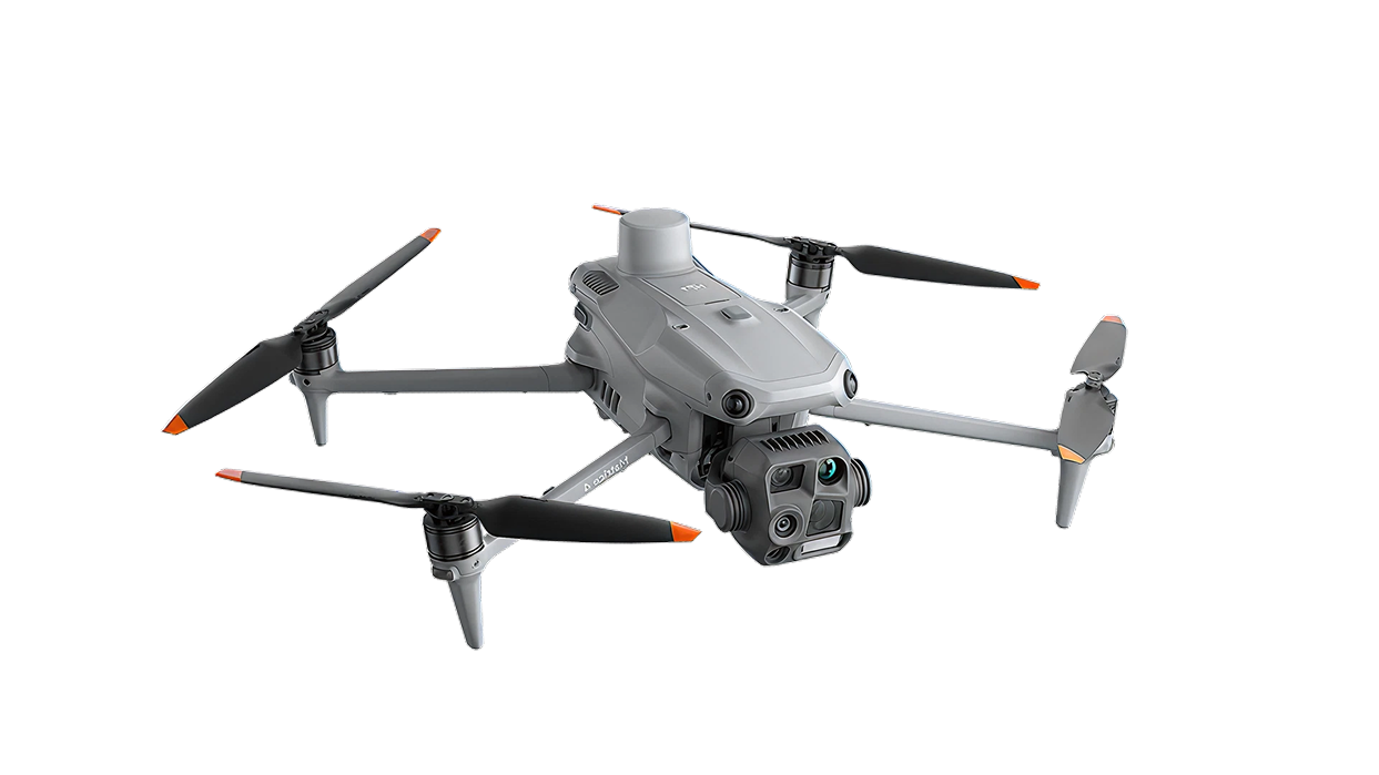
Our Matrice 400 and Zenmuse L3 collect LiDAR and high-resolution imagery of the whole site in a single deployment.
Aerial LiDAR with dual RGB mapping cameras
Safe, efficient capture with no crews on the ground
Minimal disruption to active sites
Process & Register
Raw data is georeferenced, cleaned, and checked for quality.
Point cloud processing
Georeferencing and quality control
Clean, accurate data
Analyze & Extract
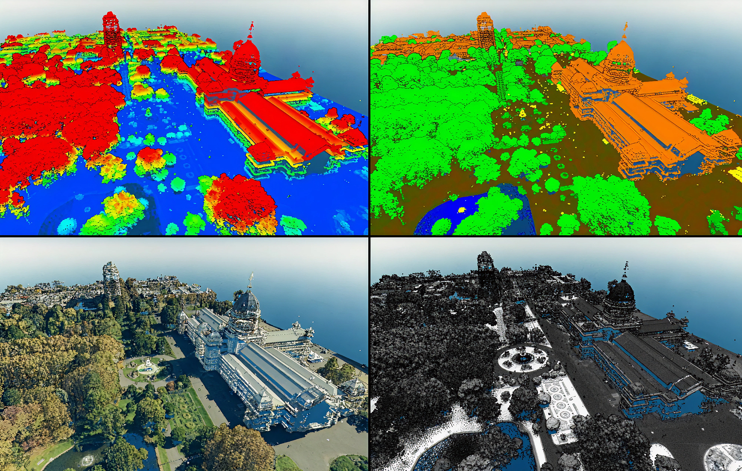
We classify the point cloud and pull out the features your project depends on.
Ground, vegetation, and structure classification
Surfaces, contours, and cross sections
Volumes and custom measurements
Deliver & Integrate
You get the formats your team already works in.
LAS/LAZ point clouds, DEMs, and contours
CAD-ready and GIS-ready files
Shareable 3D model link
Use & Decide
Measure, share, and plan with confidence.
Actionable insights
Better, faster decisions
Measurable results
Numbers That Speak For Themselves
One LiDAR flight covers hundreds of acres, so your data arrives sooner.
Faster Than Ground Survey
One flight replaces several days of ground crew work.
Acres Per Flight
One flight, no return trips or extra mobilization fees.
Accuracy Matters
Survey-grade precision in days, not weeks, keeping timelines intact.
Get Your Survey Mapped Today
Request a consultation to see how LiDAR improves your project's accuracy and timeline.
.jpg)