.png)
Agricultural Drone Mapping
High-resolution maps of your fields, orchards, and pastures, delivered fast so you can plan, manage, and report with confidence.
What We Capture
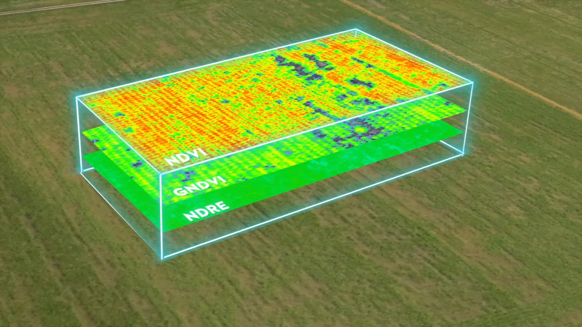
Crop Health Maps
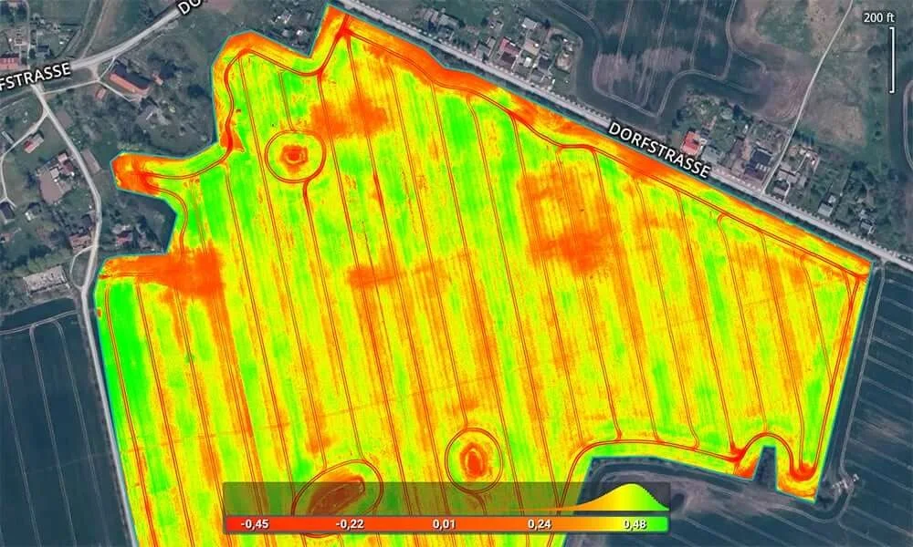
NDVI maps that show stressed and healthy zones across every field.
Field Maps
High-resolution orthomosaic maps of every field, ready to share.
Acreage & Boundaries
Accurate field outlines and acreage for planning and records.
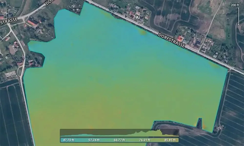
Drainage & Elevation
Surface models that show where water moves and where it sits.
Damage Documentation
Clear before-and-after records of storm, flood, or pest damage for insurance and lenders.
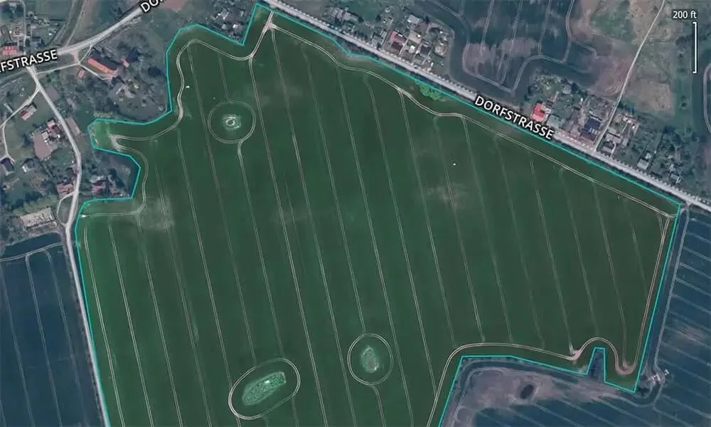
Sharp aerial map with your field boundary.
See stressed zones across the whole field.
Surface heights for drainage and grading.
How It Works
Plan
We map out your fields and set a flight plan around your schedule.
Fly
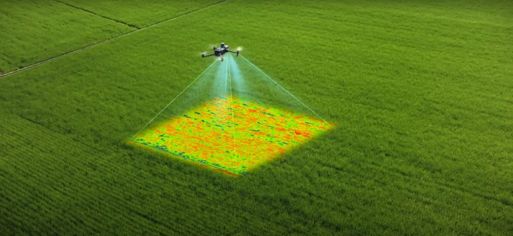
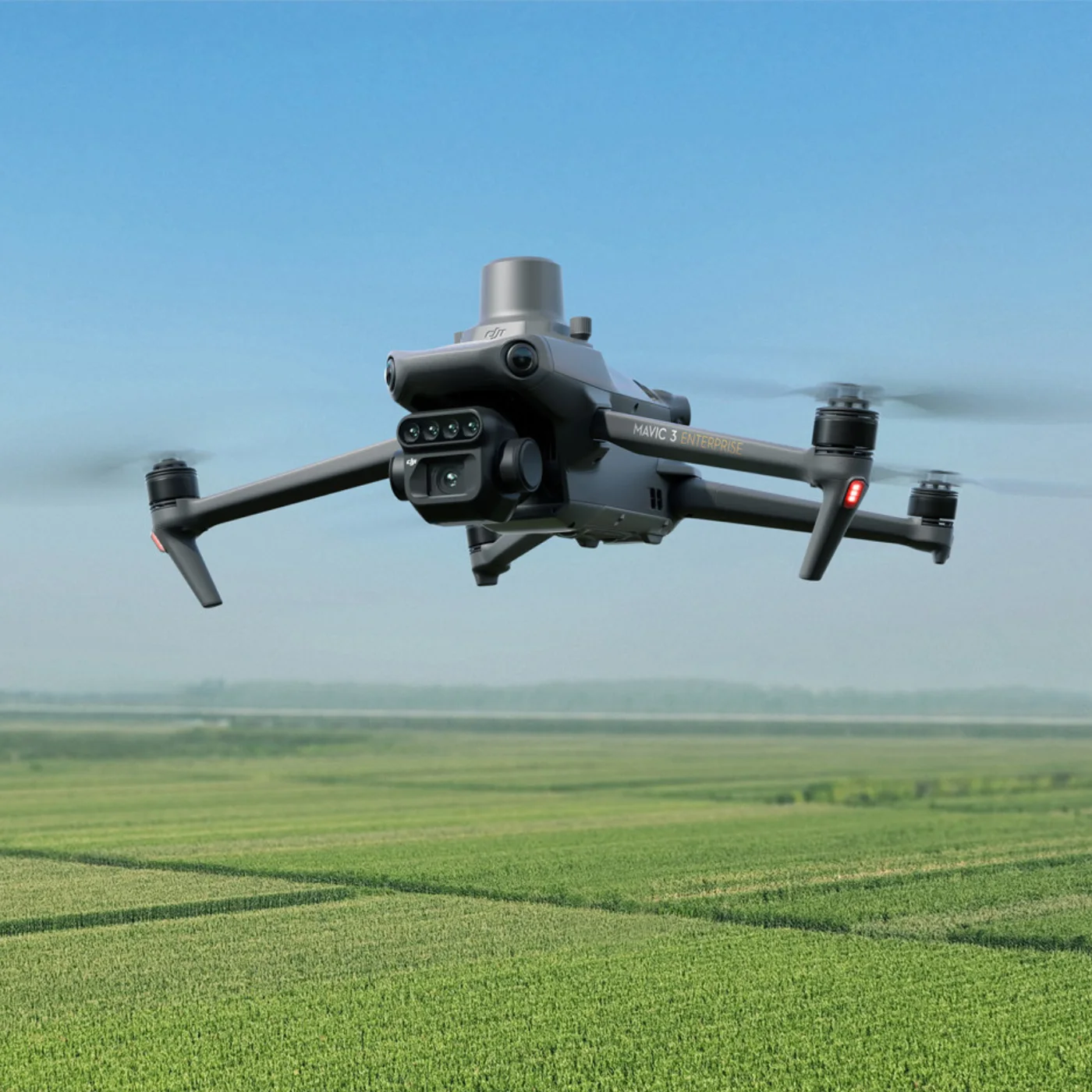
Our Mavic 3M captures RGB and multispectral imagery of every acre.
Process
Imagery becomes orthomosaics, elevation models, and measurements.
Deliver
You get shareable maps and files, plus repeat flights through the season if you need them.
Built For Growers, Ranchers, And Lenders
Each operation gets the maps that answer its questions.
Our Agriculture Drone
Every field is flown with our DJI Mavic 3M.
RGB camera plus 4 multispectral bands
Built-in sunlight sensor for consistent data
RTK positioning for repeatable flights
Ready To See Your Land From Above?
Tell us about your fields and we'll plan a flight around your schedule.