.png)
Drone Services
LiDAR, thermal, construction monitoring, and more, anywhere in Texas.
Our Four Core Services
Most projects start with LiDAR, thermal, construction, or agriculture.
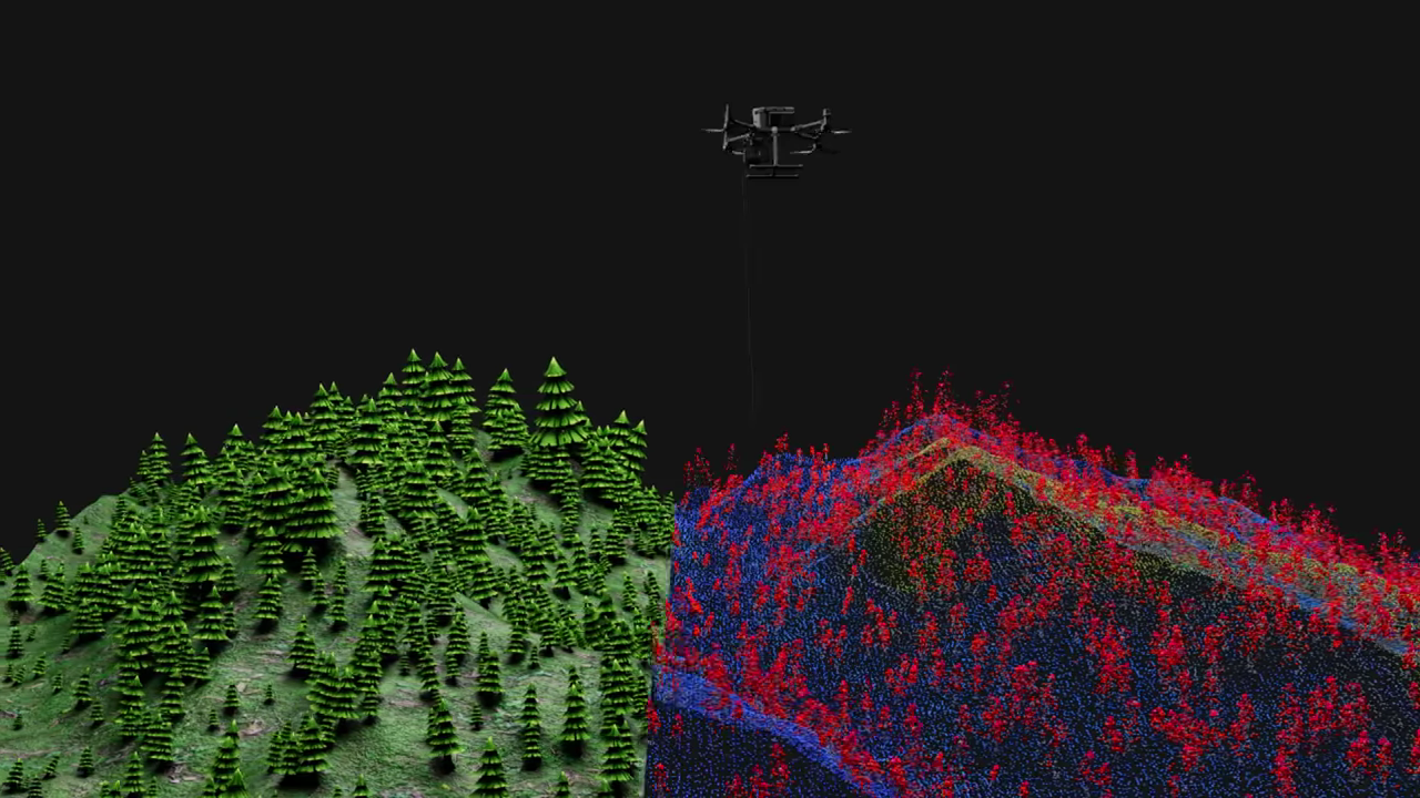
LiDAR Scanning
Point clouds & elevation models
Engineering, utility & site design
CAD, BIM & digital twin ready
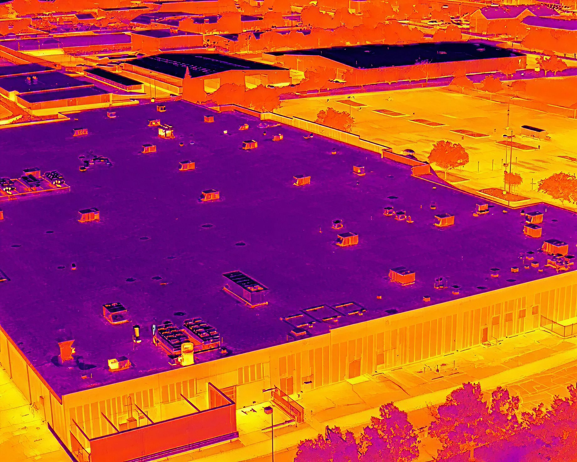
Thermal Imaging
Roof moisture & anomaly detection
Solar panel analysis
Level III & Master Thermographers
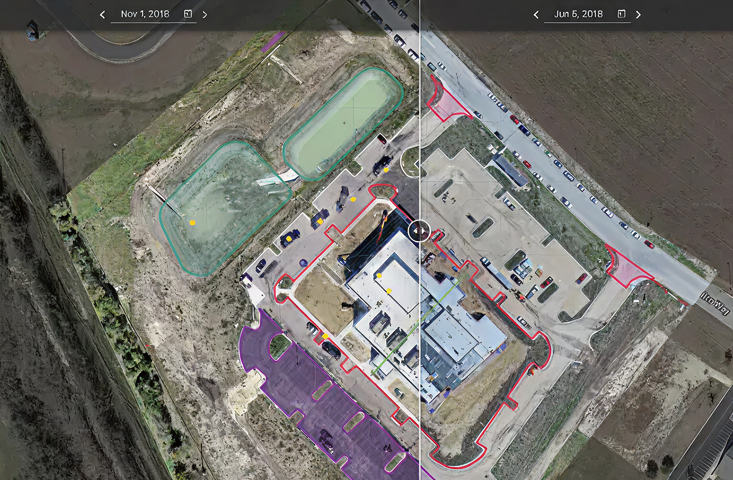
Construction Progress Monitoring
Weekly or monthly flights
Orthomosaics, 3D models & volumetrics
Groundbreaking to closeout
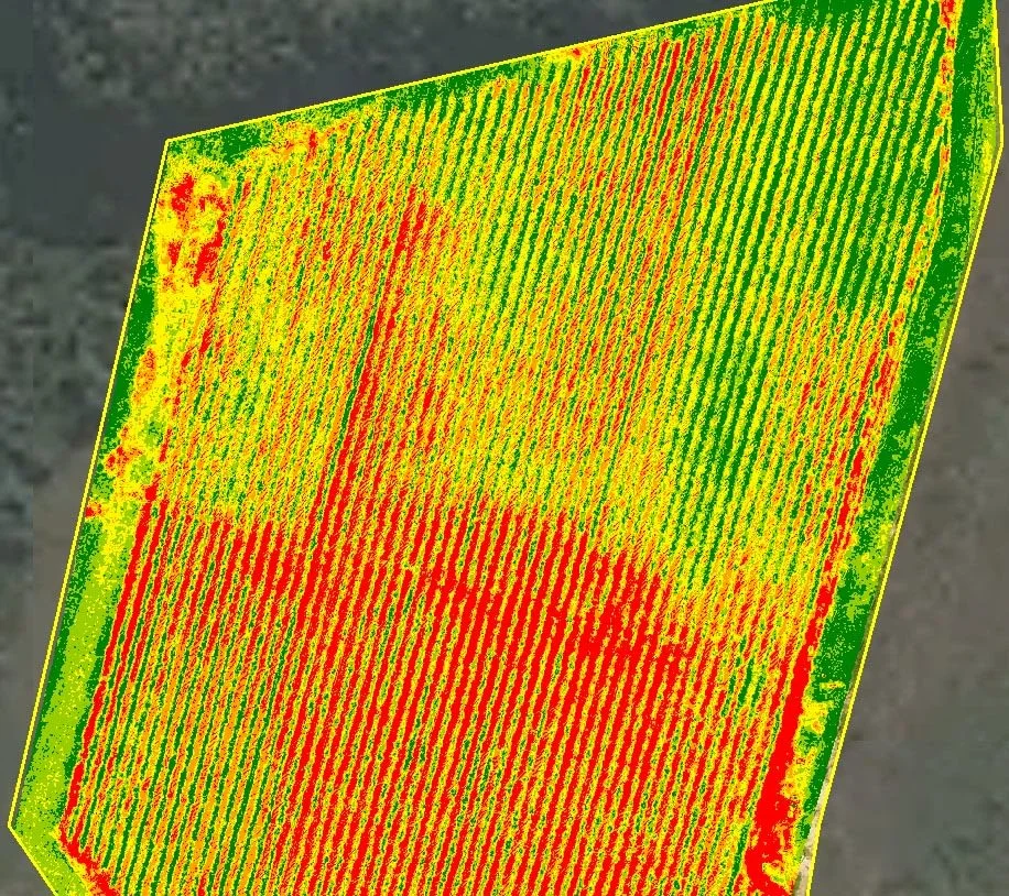
Agriculture
Field maps and acreage
Drainage and elevation mapping
Damage documentation from above
We Capture Every Phase
Six steps from first plan to lasting results.
Plan & Prepare
Define scope, goals, flight plan, and safety requirements.
Capture
Drones, terrestrial imaging, and Matterport capture imagery and LiDAR.
Process
Raw data becomes point clouds, 3D models, and clear images.
2D & 3D Deliverables
Accurate plans, 3D models, sections, and measurement tools.
Review & Collaborate
Share, measure, and comment with your team in real time.
Use & Manage
Track progress, manage assets, and report across the lifecycle.
Industries We Serve
Twelve industries, one team of certified pilots.

Engineering & Surveying
LiDAR topography, terrain models, and CAD-ready data for site design.
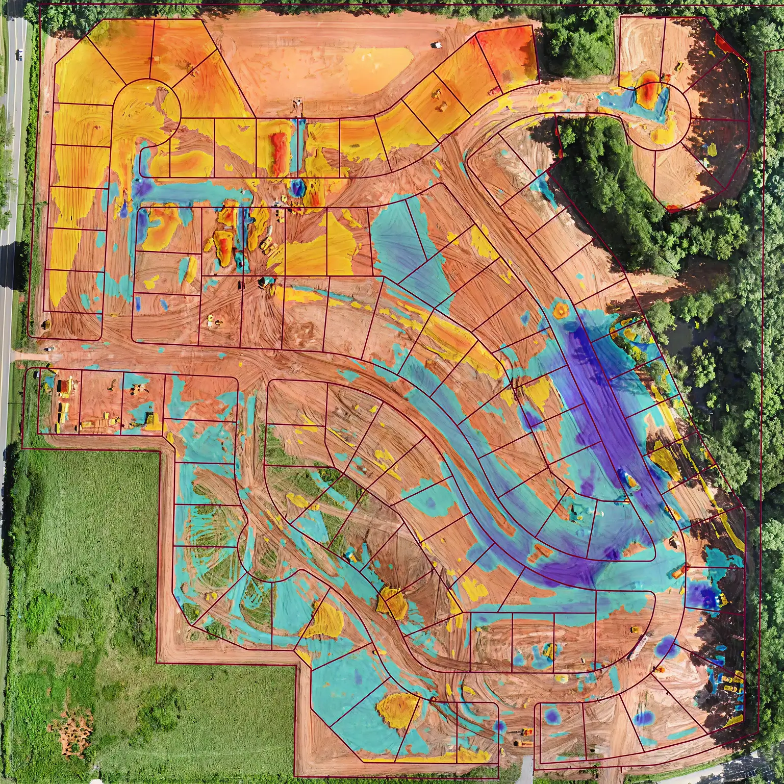
Construction
Progress flights, stockpile volumes, and cut and fill grading checks.
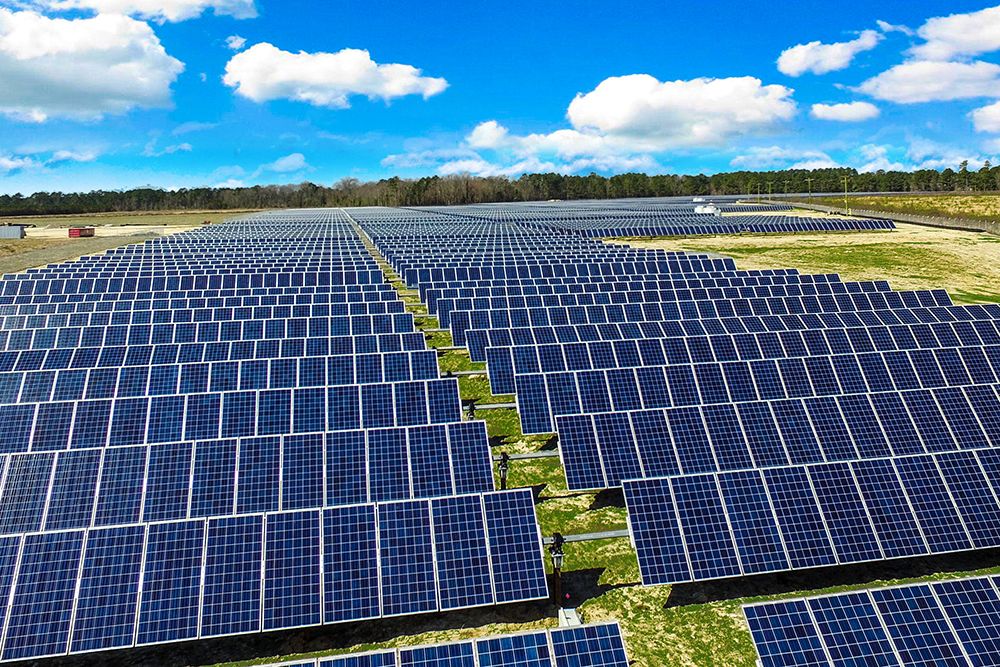
Solar & Renewable Energy
Solar site mapping, thermal panel analysis, and construction tracking.
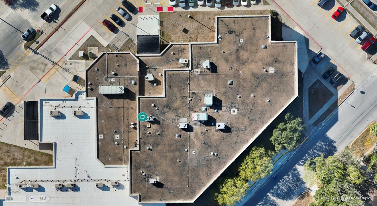
Insurance
Roof condition imaging, storm damage maps, and claims documentation.
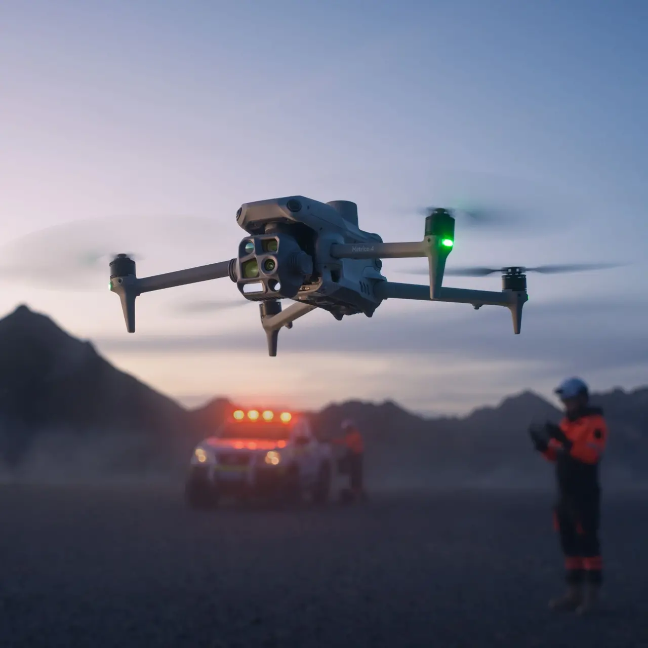
Emergency Response
Aerial support for search and rescue and post-disaster data capture.

Infrastructure
Digital twins, utility corridor maps, and vegetation reality capture.
Public Safety
3D school maps and incident capture that support emergency planning.
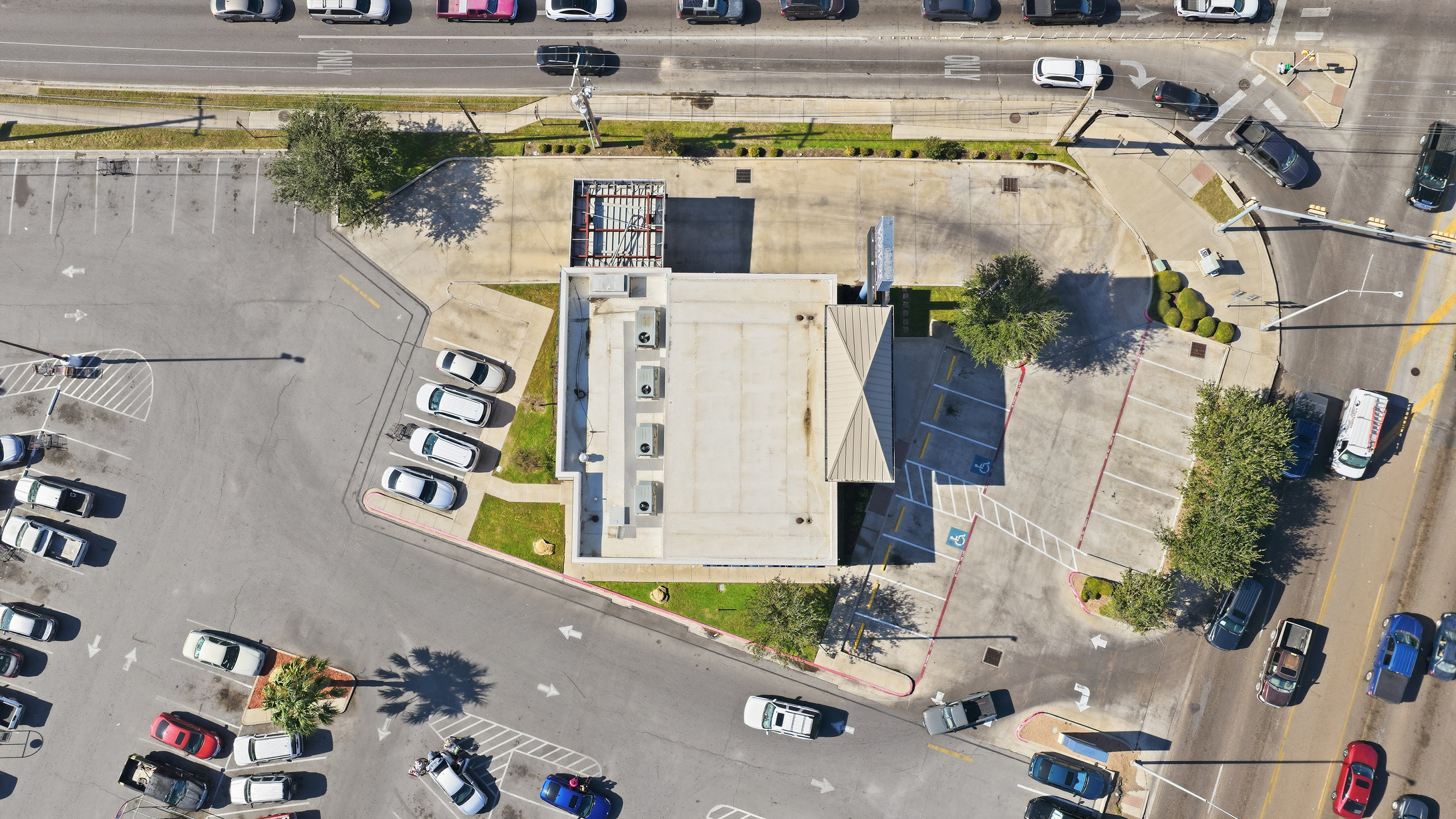
Commercial Real Estate
Property condition imaging and roof maps for multi-unit portfolios.
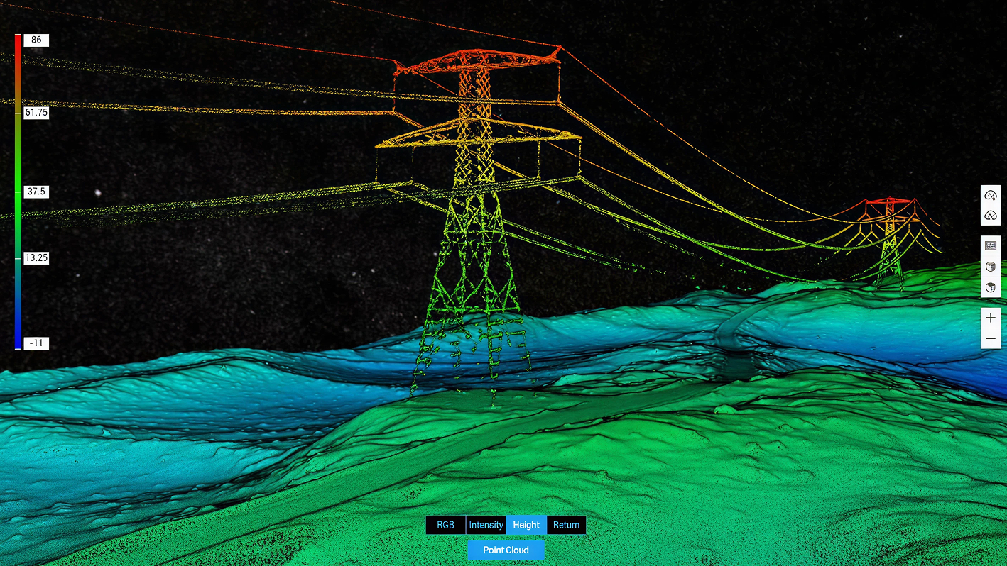
Utilities & Powerlines
Power line imaging, utility asset checks, and vegetation management.

Telecom
Cell tower imaging, tower mapping, and utility pole inspection data.
Oil, Gas & Industrial
Tank, pipeline, and equipment checks with no-shutdown thermal scans.
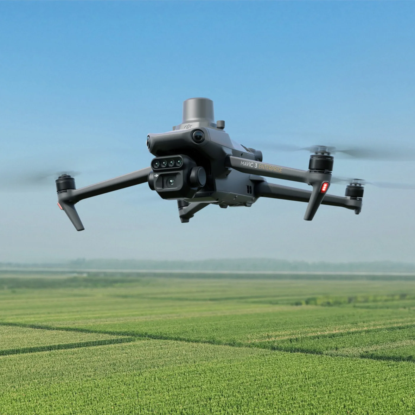
Agriculture
Field maps, acreage, drainage, and storm damage records from above.
Our Fleet
The aircraft and sensors behind every flight.
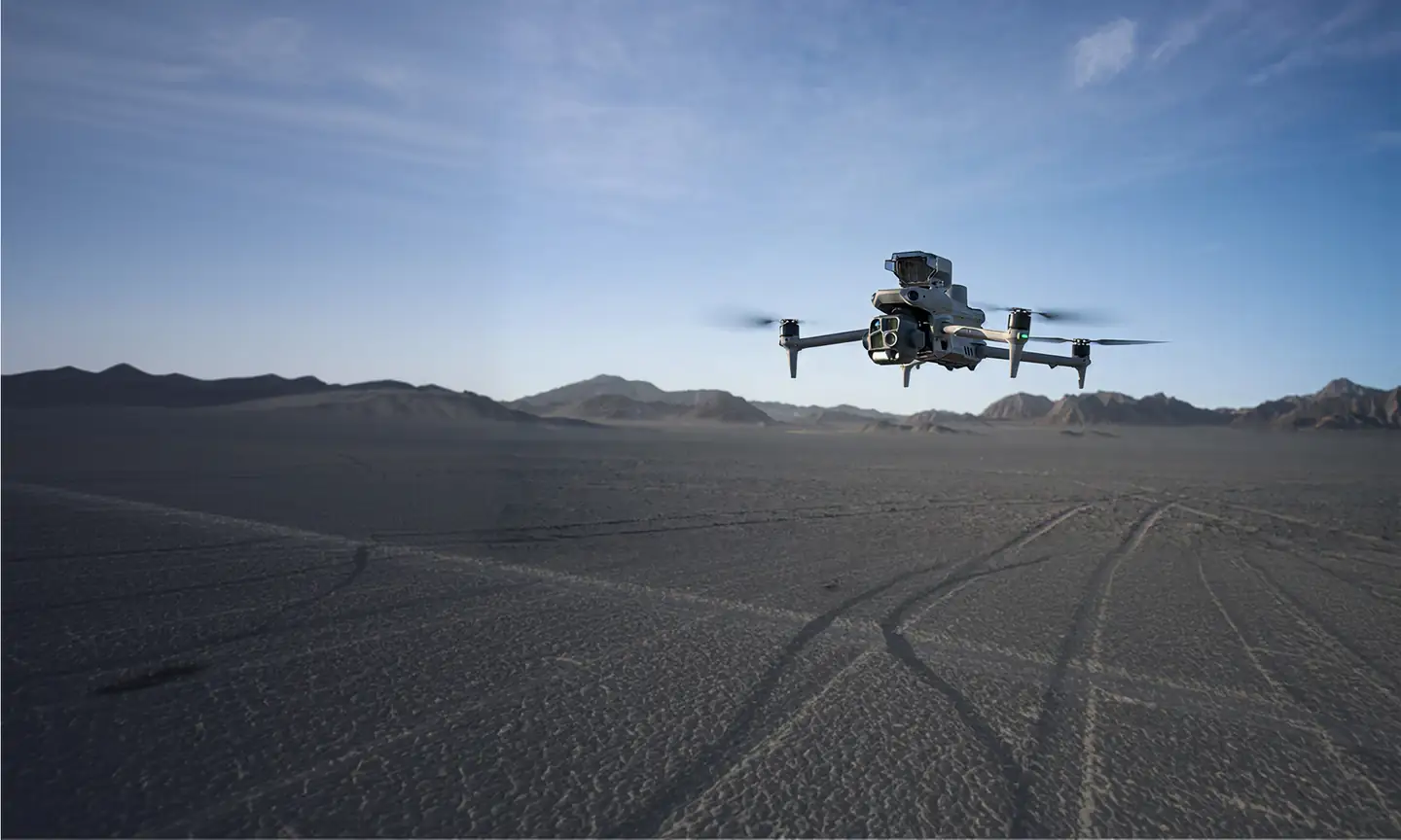
DJI Matrice 400
Our heavy-lift flagship. Up to 59 minutes of flight and a 6 kg payload capacity.
Zenmuse L3 LiDAR
Long-range aerial LiDAR with dual 100 MP mapping cameras for survey-grade point clouds.
Zenmuse P1
Full-frame 45 MP photogrammetry camera for high-accuracy maps and 3D models.
Zenmuse H30T
Thermal, zoom, and laser rangefinder in one payload for inspections and public safety.
DJI Matrice 4T
Compact thermal drone for roof, solar, and emergency response work.
DJI Matrice 4E
Compact mapping drone with a mechanical shutter for construction mapping and progress flights.
DJI Mavic 3E
Lightweight mapping drone for agriculture and fast site maps.
Ready To See From Above
Tell us about your project for a custom quote.